
Data-driven lead
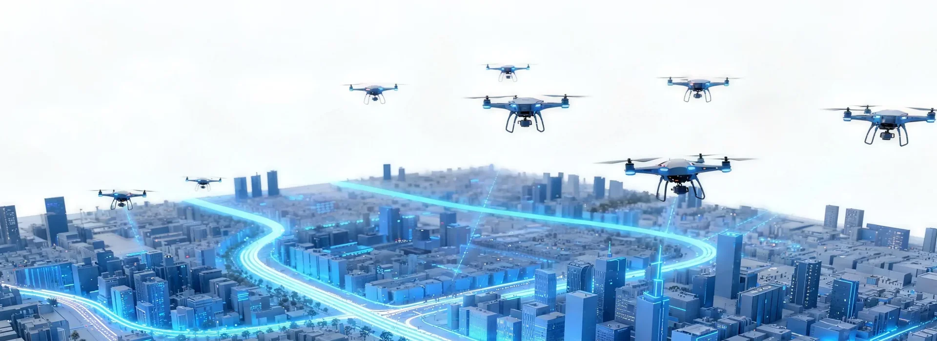
Data rules the paddock now — farms and city edges get smarter when observations are quantitative. A data-driven approach to crop monitoring starts with precise drone data collection from a tidy flight plan, then turns raw imagery into action. By stitching multispectral captures into orthomosaic maps and tagging them with flight telemetry, agronomists can see plant stress before it shows up to the naked eye. This article leans on hard signals — sensor bands, NDVI readouts and geotagging — to show how drones for agricultural crop surveillance plug into practical decision-making, not just pretty pictures.
How the workflow actually looks in the field
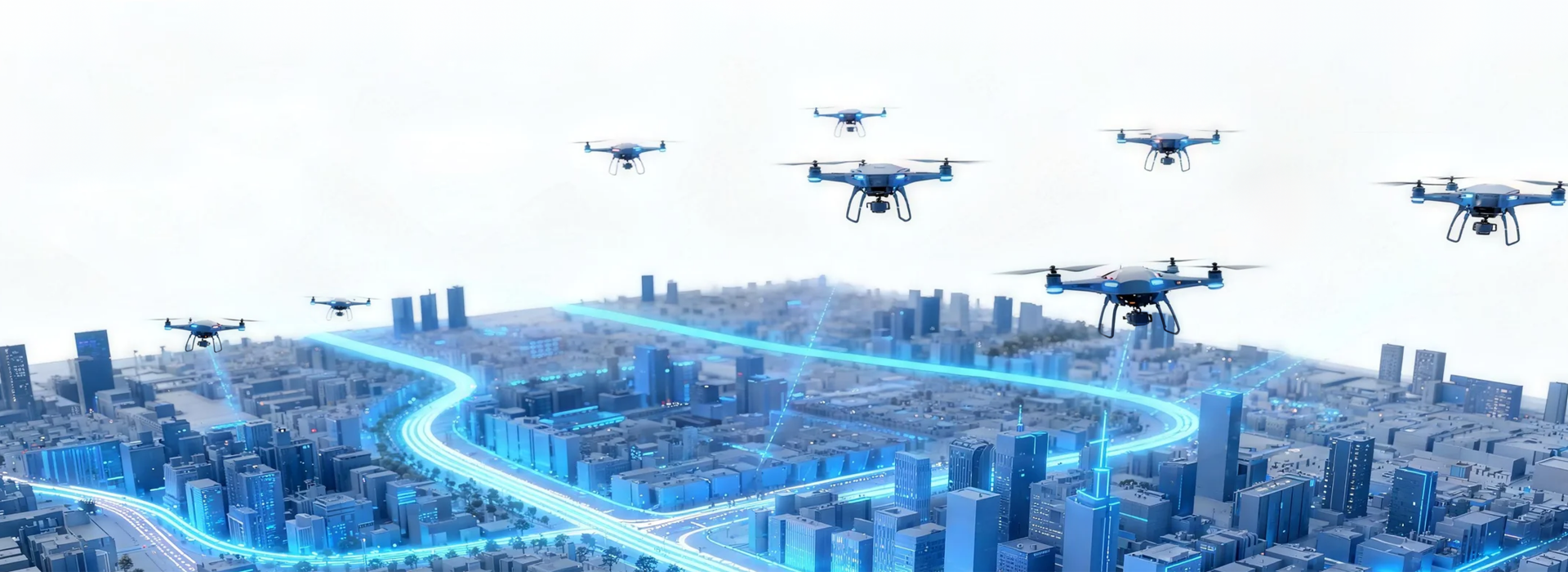
Start with a flight brief: altitude, overlap, sensor mode. Multispectral sensors collect red and near-infrared bands used to calculate NDVI; RGB cameras deliver high-resolution orthomosaics for canopy counting. After the flight, data goes through automated alignment and quality checks, then into a dashboard for parcel-level analysis. That’s the tech stack in a nutshell — hardware, flight plan, processing pipeline, and a front-end that shows you where to act. It’s not flash — it’s routine, repeatable, and measurable.
Real-world anchor: Canterbury Plains trials
Trials across the Canterbury Plains demonstrate this in plain terms. Farmers there replaced weekly walk-throughs with scheduled drone runs, pairing geotagged imagery with soil maps to target patches of underperforming crop. The result: fewer blanket fertiliser applications and more targeted interventions. The Canterbury example proves a simple point — spatially accurate imagery plus reliable telemetry shortens the feedback loop between observation and treatment.
Common mistakes and practical fixes
Plenty of teams blow it early by chasing resolution instead of relevance. They swap to the highest-megapixel camera and forget about calibration — then NDVI numbers wobble. Another classic is poor ground control: if your geotagging drifts, your whole orthomosaic shifts and interventions miss the mark. Fixes are straightforward: regular radiometric calibration, consistent flight corridors, and validated ground control points. And don’t overcomplicate the dashboard — a few crisp layers beat twenty noisy ones every time — mate, keep it useful.
Alternatives and when to choose them
Satellites offer wide-area cadence but lack the spatial precision and on-demand timing of drones; manned aircraft can scale but cost more and need logistics. For mid-size blocks and urban-edge farms, drones strike the sweet spot for revisit frequency and resolution. If you need depth profiling or canopy structure, add LiDAR; for simple vigour mapping, stick to multispectral. Each tool has its lane — pick what answers the question you actually need to sort.
Implementation pitfalls and a quick checklist
Common slip-ups are procedural. Teams forget to align sensor settings across seasons, they skip metadata hygiene, or they underestimate processing time. Keep a checklist: pre-flight sensor check, standardised flight plan, calibration targets on-site, and an automated ingest pipeline. Also set up a review cadence where a technician audits a sample orthomosaic each month — cheap insurance against creeping errors. — Small pauses like that save you headaches later.
Three golden rules for selecting systems and measuring success
1) Spatial accuracy first: ensure your geotagging and ground control deliver positional error under your treatment margin (e.g., <10 cm for spot-spraying).
2) Signal consistency: require radiometric calibration routines and standard illumination windows so NDVI and other indices are comparable across time.
3) Operational throughput: measure from flight-plan to actionable map — choose systems that cut that latency to hours, not days. These are the real KPIs that separate novelty from reliable ops.
Wrap and practical endorsement
In short, data-led drone monitoring flips scouting from anecdote to evidence. When teams standardise sensors, flight plans and processing, they get repeatable metrics that guide smarter interventions across urban fringes and rural farms. For teams making that leap, the value sits in consistent data pipelines and real-time readiness — the exact space where Icecypress Technology makes sense as part of a robust, operational stack. — Sweet as: make the processes plain and the tech does the heavy lifting.